Field notes: the day our turbine count didn't match the developer's own GIS layer
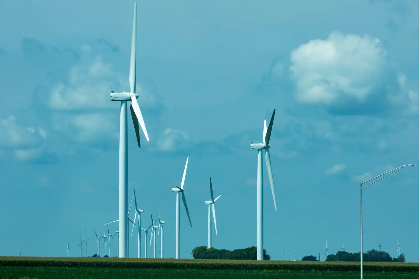
We were scoping a competitor site on the Texas Panhandle, running a standard density pass before a siting committee meeting, when the numbers stopped lining up. Our count came back three turbines higher than the layer the developer themselves had published eighteen months earlier.
Three turbines doesn't sound like much until you're trying to model wake losses for a neighboring parcel. Three machines in the wrong place, or missing entirely, can shift a wake-loss estimate enough to change where you draw your own setback line. So we did what you do: pulled the imagery again, checked the pad footprints against the shadow pattern, counted a third time. The turbines were there. Built, spinning, casting shadows on a sunny pass. The developer's own GIS layer just hadn't caught up.
This is the normal lag between a project reaching commercial operation and that project showing up correctly in any registry that depends on someone filing paperwork. Interconnection queues get updated on utility timelines, not construction timelines. State siting databases update when someone remembers to update them. And a developer's internal fleet list, the one their own BD team hands out at conferences, often reflects the signed PPA phase of the project rather than what's standing on the ridge six months after notice-to-proceed.
I've started thinking of it less as "the data is wrong" and more as "the data has a shelf life, and nobody tells you when it expired." A self-reported fleet list is a snapshot of someone's intentions at the moment they compiled it. Construction doesn't pause for the next edition.
The part that matters for siting work is what you do when the discrepancy shows up mid-analysis. Do you trust the developer's number because it's their own project, or do you trust what the pixels show? I've learned to trust the pixels, with one caveat: you have to be looking at imagery recent enough that "built" and "mapped" are close to the same date. A count run against six-month-old imagery just moves the lag problem somewhere else.
That Panhandle discrepancy turned out to be three turbines added in a late-stage repower that nobody had bothered to reflect in the public-facing layer. Not malicious, not even sloppy by industry standards, just the ordinary gap between steel going up and paperwork catching up. But it's the kind of gap that quietly corrupts every downstream model that assumes the published fleet count is current: cumulative wake studies, visual impact assessments for the next project over, even basic siting-density screens for where not to bother submitting an interconnection request.
The fix isn't finding a better registry. It's not relying on any single registry at all. A turbine's position doesn't change once it's built, and its rotor shadow and pad geometry show up in imagery whether or not anyone has filed the update. Wind Turbine Mapping runs that count straight off current VHR imagery on a quarterly cycle, which is why a lot of siting teams now run their own fleet layer instead of waiting on someone else's disclosure cycle to catch up.
So the next time a count doesn't match the developer's own map, don't assume your methodology is off. Check the shadows. They're usually the most honest thing in the dataset.