Field notes: the ridge we almost passed on because the map still showed it empty
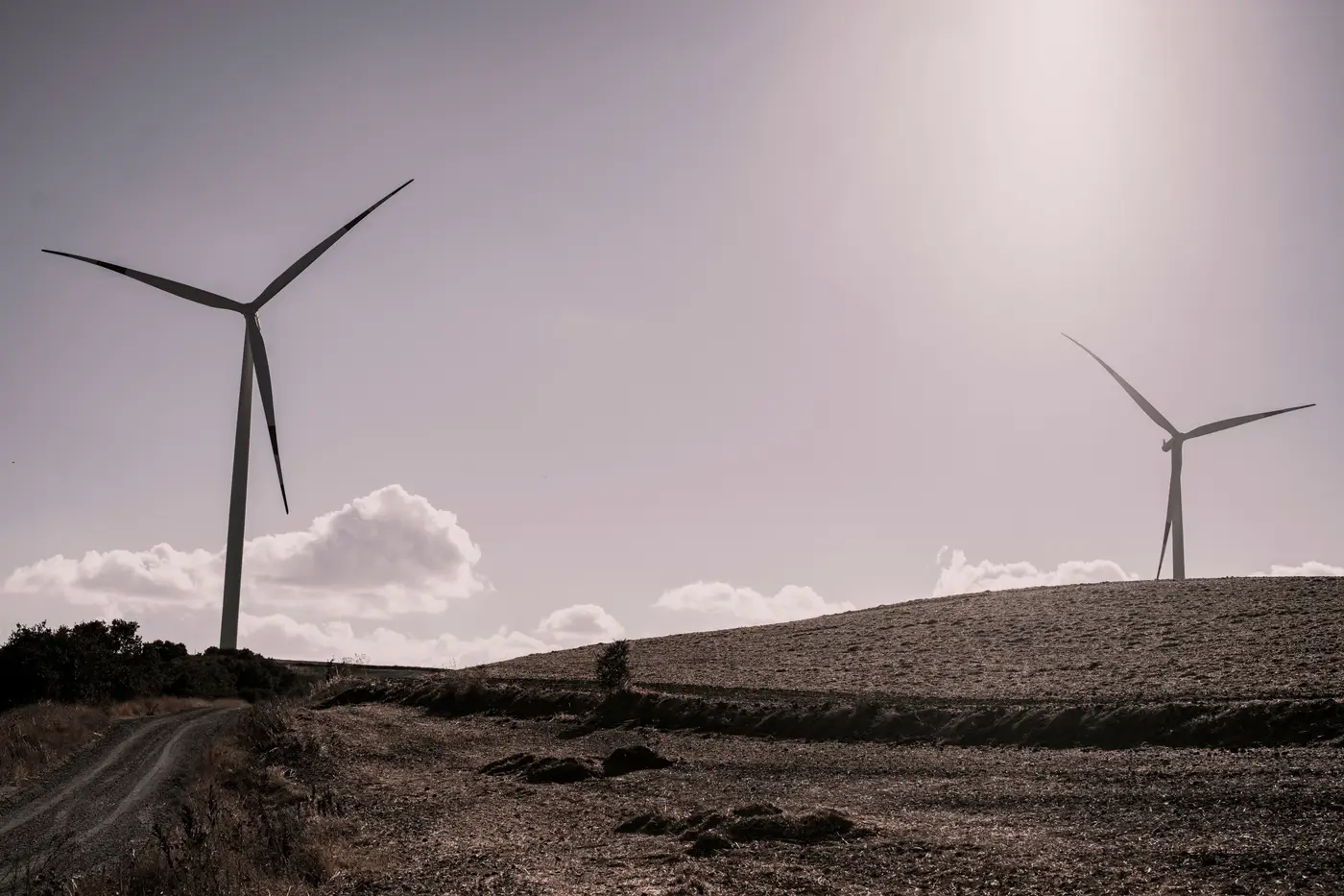
We almost crossed a ridge off the list last month. Every usual source we checked agreed on one thing: nothing had been built there yet.
The state energy registry showed a scattering of permits two counties over, all older projects we'd already mapped. FAA obstruction filings covered the area, dated three years back and still listed as "proposed." EIA's plant list had no entry for that county at all. Even the county GIS parcel layer, which sometimes flags turbine pads if the assessor's office got around to it, came back blank.
By every public record open across three monitors, that ridge was empty ground.
One analyst on the team nearly moved it to the bottom of the queue. Good wind, awkward access, apparently nothing competing for it. Low priority, easy call.
Then someone pulled up recent aerial coverage just to check access roads, and there they were. Towers, pads, access cut right along the spine of the ridge, laid out in a pattern that only makes sense once construction crews have already been through. Whatever went up there outran every disclosure cycle we had on file.
This keeps happening, and it isn't really anyone's fault. Interconnection queues move on their own clock. A developer can commission a project and start generating revenue well before the paperwork catches up in a registry that gets updated once a year, if that. State siting databases are maintained by people with a dozen other duties, and turbine-level detail is usually the last field anyone fills in. The FAA filing that matters for airspace review was accurate the day it was submitted. It has no obligation to reflect what went up on the ridge eighteen months later.
So the gap between "permitted" and "built" sits open for a while, sometimes a year, sometimes longer, and during that window your competitive read on a ridge is wrong in a way that looks exactly like being right. Nothing in the record contradicts the assumption that the site is clear. The record just hasn't caught up to the ridge.
The cost of that gap isn't abstract. A wake-loss study run against a ridge that's already occupied gives you clean numbers for a site that no longer exists. A density comparison across three candidate ridges that treats one of them as empty, when it's already carrying a dozen towers, ranks that ridge higher than it deserves, right up until someone drives out there or a landowner mentions the neighbors already signed.
Imagery settled it, read the way you'd read it once you know what a turbine pad looks like from above: the rotor's shadow sweep, the cleared circle at the base, the straight-line access cut that a farm road never quite matches. Once you're looking for that signature instead of waiting for someone to file paperwork about it, the ridge stops being a blank spot on the map and starts being a fleet count.
That's the case for treating the public layer as a starting point and not a verdict, at least not for anything moving fast enough to matter. We built Wind Turbine Mapping around exactly that signature, locating every turbine in an area of interest from its rotor shadow and pad geometry and handing back a point layer with hub coordinates, refreshed on a quarterly cycle instead of whenever a state office gets to it.
If you're scoping a ridge and the registry says it's clear, run the imagery before you believe it.