What is micrositing in wind farm layout design?
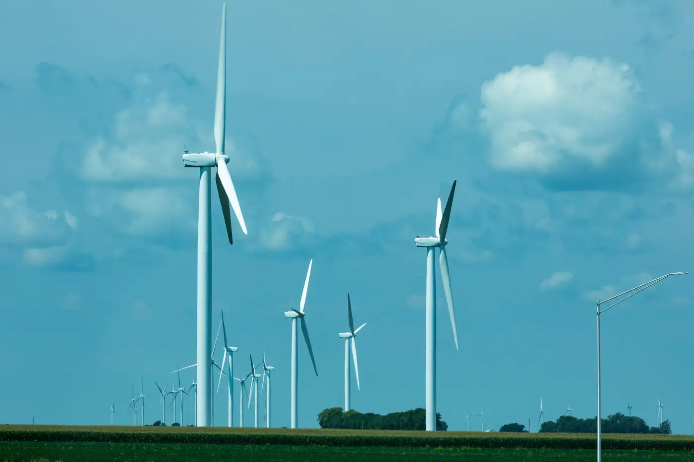
Micrositing is the step where a wind farm goes from a shape on a map to actual turbine coordinates. A developer has already picked the project area, usually a few thousand acres with a decent wind resource and a path to interconnection. Micrositing is what happens next: walking that boundary down to specific lat/long points, one per turbine, each one chosen because it clears every constraint that applies to that exact patch of ground.
It's easy to confuse this with site selection, and the two get lumped together in casual conversation. Site selection asks whether a region is worth developing at all, looking at wind class, transmission access, land cost, and permitting climate at the county or state level. Micrositing asks a narrower question for a site you've already committed to: given this parcel, these setbacks, this terrain, where exactly does turbine 14 go so it doesn't violate a noise ordinance, doesn't sit in another turbine's wake, and doesn't end up fifty feet from a property line nobody checked.
What constrains a turbine's position
Every candidate point gets tested against a stack of rules, and they don't all come from the same source.
Setback requirements are usually the first filter. Many jurisdictions set a minimum distance from residences, often expressed as a multiple of total turbine height, plus separate setbacks from property lines, roads, and transmission corridors. Shadow flicker modeling adds another layer on top of that for any turbine within sight line of an occupied structure.
Then there's the physical layout logic: crosswind spacing of roughly 3 to 5 rotor diameters between turbines in the same row, and 7 to 10 diameters downwind along the prevailing direction, pulled from the wind rose for that site. Get this wrong and you're not violating a permit, you're just losing energy to wake interference that a wake model will show up clearly in the AEP estimate.
Terrain and geotech rule out plenty of otherwise-good spots too. Steep slopes, thin soil over rock, wetlands, and known habitat areas all take candidate points off the table before a layout engineer even gets to the spacing math.
Micrositing and the wake-loss problem
This is the part that trips up people who think of micrositing as just "avoid the no-go zones." Spacing and wake losses are where turbine layout optimization earns its name, because a layout that clears every regulatory setback can still bleed 8 to 15% of annual energy production if turbines are strung too tight relative to the dominant wind direction.
A layout engineer runs candidate positions through a wake model, usually something like a Jensen or Gaussian wake deficit model fed by met tower data or a mesoscale wind resource dataset, and iterates the string geometry until the gross-to-net loss curve flattens out. On a tight parcel, that iteration might mean dropping a turbine entirely rather than squeezing one more row in. On a larger site, it might mean staggering rows instead of running them in a strict grid.
Why the existing fleet matters before you draw a single point
A lot of micrositing work actually starts with what's already built around the candidate site. A turbine on a neighboring project, or an earlier phase of the same project, shapes the wake picture and the cumulative shadow flicker math for anything placed nearby. Skip that step and the AEP estimate for the new layout is wrong before anyone has touched a single setback rule.
That's usually the part analysts end up doing by hand, scrolling basemap imagery and digitizing turbine positions off visible shadows and pad geometry, because operator disclosures lag construction and public registries don't keep up with what's currently standing. For a current point layer of turbine positions in an area of interest, with hub coordinates ready to drop into a layout tool, Wind Turbine Mapping builds that fleet map from VHR imagery on a quarterly refresh instead of a registry update cycle.
If you're scoping a candidate site against what's already built nearby, it's worth seeing what that layer looks like for your area of interest.